
| GMD | Map |
| Language | English |
| Classification | R7942 V5G45 1992 |
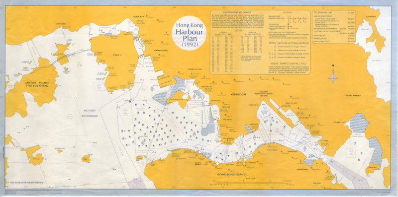
| Publisher | Marine Department and Survey & Mapping Office, Building & Lands Department, Hong Kong, 1992 |
| Edition | Edition 9 |
| Subject | Lantau Island (Hong Kong)Tsing YiKowloonHong Kong Island |
| Series | MM/23/MD |
| Description | 1 map: col.; 79 x 39 cm. |